Report by Shreya Tibrewala
India has a coastline of over 7,500 kilometers. This makes us the 18th longest coastline in the world.
As can be expected, maritime (sea-related) operations are an important part of our defence.
The entire peninsular India is open to the sea, as are the Andaman and Nicobar, and Lakshadweep islands.
Therefore, we constantly try to improve our monitoring and management of the coastline.
Sagar Sampark is the name of the new differential GNSS system introduced by India. A DGNSS (Differential Global Satellite System) is an enhancement to GNSS that was developed to correct errors and inaccuracies in the GNSS system, allowing for more accurate positioning information. It will help mariners in safe navigation and reduce the likelihood of any sort of accidents in port and harbor areas.
This DGNSS was inaugurated in Delhi on the 12th July, 2023 by Union Minister Sarbananda Sonowal.
Sagar Sampark was launched at six locations under the DGLL (Directorate General of Lighthouses and Lightships). The DGLL is a branch of the Ministry of Ports, Shipping, and Waterways. Along the Indian coast, it provides General Aids for Marine Navigation. The Directorate’s headquarters are in Noida.
Unlike GNSS, a Differential GNSS only measures the difference between the position indicated by the satellites, and its own surveyors. It then transmits that difference to the receiving station, allowing them to position an object more accurately.
Why is a DGNSS required?
Even if we use four satellites from space to figure out the position of a boat, there is likely to be a small mistakes because of interference by the earth’s atmosphere. These errors are called atmospheric errors. A DGNSS allows us to pinpoint the boat accurately. In case of a rescue operation, this will allow rescuers to reach the boat faster.
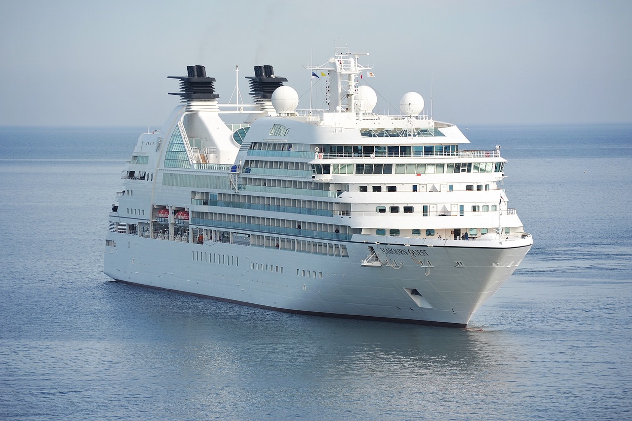
Featured image: Representative image of a cruise ship on the sea