By Manjeet Kaur Nanda
Let’s discuss some modern instruments used for navigation.
Octant
It is a type of reflecting instrument (uses mirrors for measurements), used majorly for navigation.
Its small size, light weight, flexibility, and error-free measurements made it popular among navigators.

Isaac Newton invented the octant in 1699 and passed it to the British astronomer Edmund Halley. However, the credit for the modern design of the Octant was given jointly to the British mathematician John Hadley and American inventor Thomas Godfrey, who invented the octant in 1730.
This video explains how an octant works.
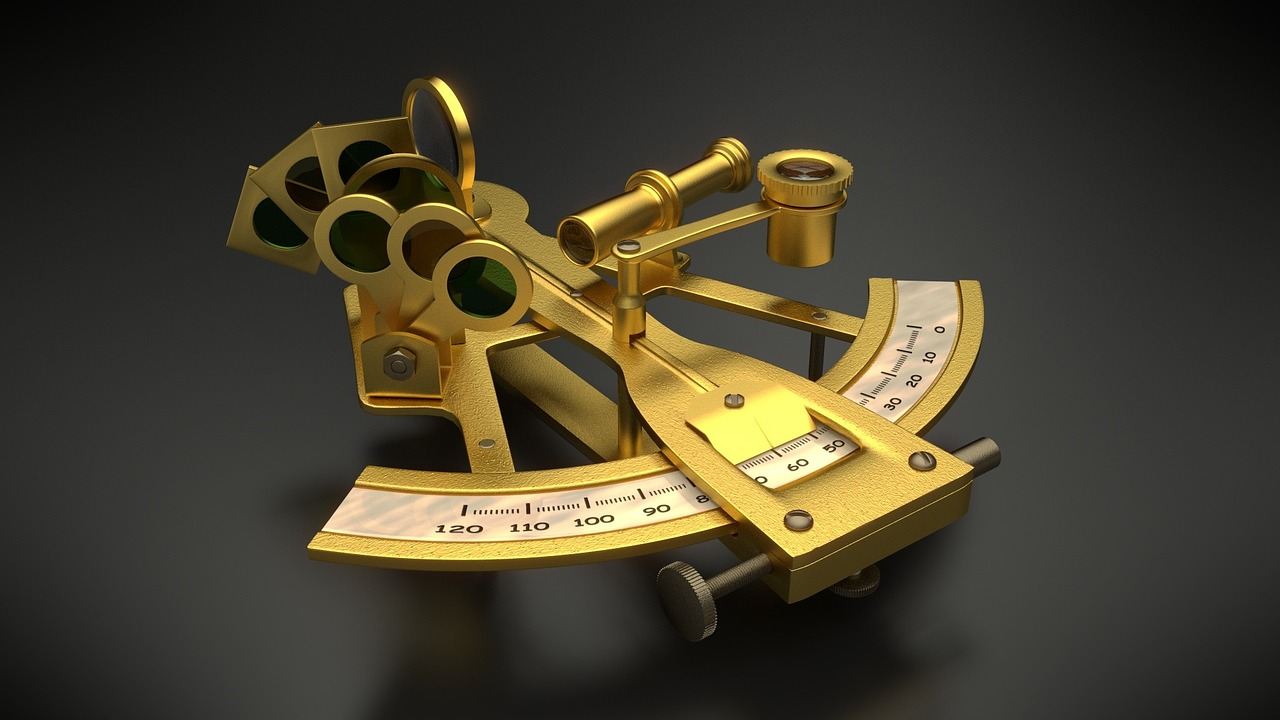
Sextant
The sextant was basically an improved version of the octant in which the curve of the instrument is increased from one eighth (1/8th) of a circle up to one sixth (1/6th) of a circle.

Scottish Royal Navy officer John Campbell developed the sextant as a replacement for the octant.
The Sextant was an instrument of choice for many navigators, and Octant continued to be popular due to its low cost. All other instruments were replaced by these two by the end of the eighteenth century.
And this video by a Royal Navy navigator explains how and why the sextant is still relevant
Global Positioning System (GPS)
The Global Positioning System (GPS) is a satellite based navigational instrument developed by the United States Department of Defense for military use.
The first satellite in the system, the Navstar 1, was launched on February 22, 1978, followed by the launch of at least one satellite every year since then.
The GPS system needed a constellation of 24 satellites to provide full coverage globally. It became fully
operational in 1995. The system was allowed for civilian use in the 1980s.
In the GPS system, each satellite provides the information of its location and time to a GPS device (receiver) on earth. The GPS device must be in the direct view of at least four satellites to get the accurate and on-time information.
Each satellite of the GPS system can remain operational for only a few years; therefore, new satellites must be launched on a regular basis to replace the older ones. As of December 2018, 73 Global Positioning
System navigation satellites have been launched.
Only 31 out of 73 are active, 30 have been retired, two have been lost, nine are standby, and one is being tested.
GPS is used in Google Maps and other navigation systems.
India has also developed its own satellite-based navigation system – NAVIC, which uses Indian satellites.