As you can see in the images below, North Sikkim is in the Upper Himalayas. This is an area that is prone to avalanches and landslides.

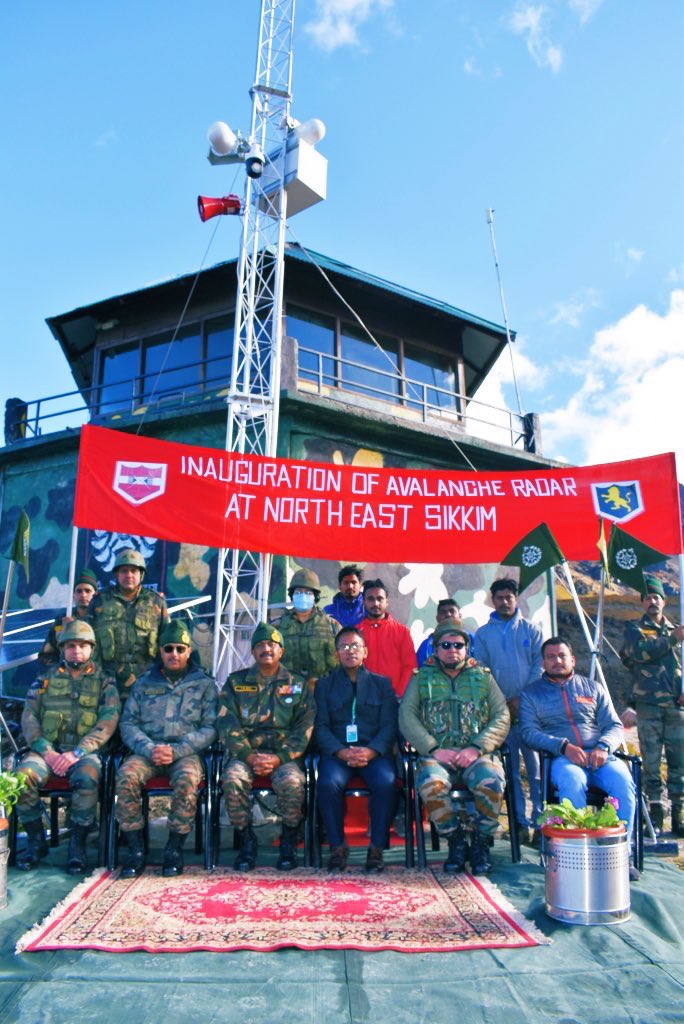
The Indian Army and the Defence Geoinformatics and Research Establishment (DGRE) have jointly installed the Avalanche Monitoring Radar, the first of its kind in India, in north Sikkim.

What all can the radar do?
It can detect and identify an avalanche or landslide within 3 seconds.
A video of the event is automatically recorded for later analysis.
It can sense an avalanche through snow, fog, and poor light (including nighttime)
The radar covers an area of 2 sq. kms.
It will help in alerting civilians and soldiers in case of an avalanche/landslide. This will save lives and damage to movable things like vehicles.
It also has an automatic alarm system so a warning is triggered as soon an event is detected.

This is the first avalanche monitoring radar for India. It has been installed at an altitude of 15,000 ft at a forward post in North Sikkim, India.
About Avalanche Monitoring Radars
Avalanche Monitoring Radars are niche, super-specialised weather forecasting equipment.
According to a report by ResearchDive, a research organisation, the market for Avalanche Monitoring Radars is rising every year. The main buyers of this technology are defence establishments.
When an avalanche is triggered, seconds are critical in saving lives and property. An early alarm system can help people evacuate before being snowed in.
Geopraevent, LBFoster, Geobrugg, Wyssenavalanche are the market leaders in this domain.
This video by Geopraevent explains how Avalanche Monitoring Radars work.