Turkiye and Syria had a 7.8 magnitude earthquake at about 4:17 am local time.
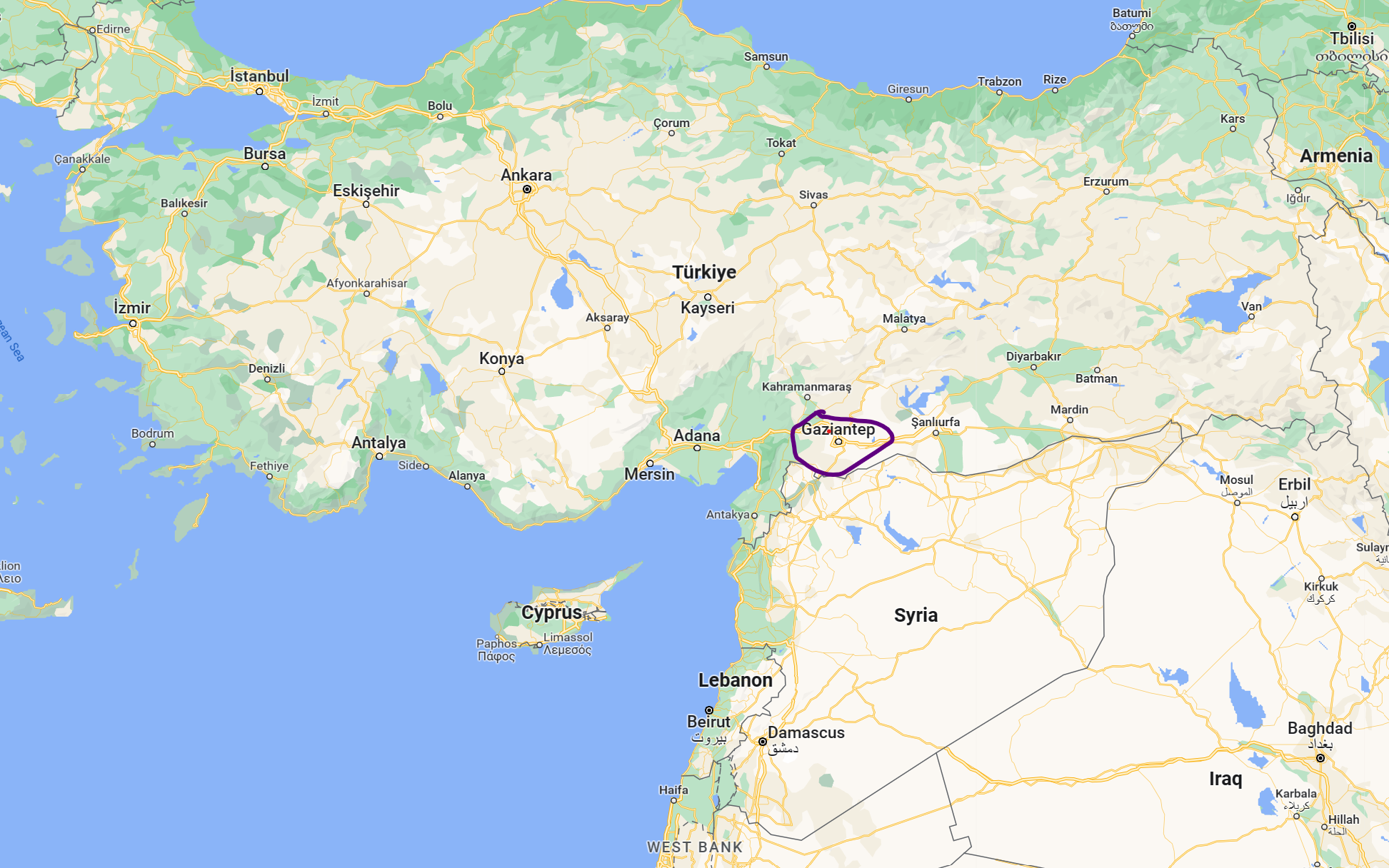
The epicenter of the quake was just north of the city of Gaziantep in Turkiye.
The depth was about 17.9 kilometers from the surface.
Tremors were felt as far away as Cairo.

Relief and rescue operations are going on. Several international agencies have come forward to help.
Over 40 aftershocks have been reported since the first quake.
Update
This quake was followed by 3 more major quakes:
6.7 magnitude – at a depth of 14.5 kms, 4:28 am (0428 hours) local time (approximately).
7.5 magnitude – at a depth of 10 kms, 1:25 pm (1325 hours) local time (approximately).
6.0 magnitude – at a depth of 10 kms, 2:58 pm (1458 hours) local time.
This is in addition to the multiple shocks that were felt throughout the day.
At the time of writing this report (1945 hours IST), the last quake was felt at 1915 India time (1645 hours local time), magnitude 5.0, at a depth of 17.3 kms.

The US Geological Survey also provides an update on quakes in real time. You can access it here.
Update at 0230 hours IST, 07 Feb 2023
At this time, quakes of intensity 4.0 – 5.0 are occurring every 30-45 minutes in the region.
The last one was 20 minutes ago, magnitude 5.3, depth 10 kms.
About 6000 people have been rescued in 10 provinces of Turkey. Syria has not released any informtion, nor accepted international help for relief and rescue operations.
The weather is cold and that is making rescue difficult. Some of Turkey’s airports are also closed.
Update at 1940 hours, 08 Feb 2023
Turkiye has announced a three-month emergency.
Why did the earthquake happen?
As you can see in the image below, Turkiye lies is a very active seismic zone.

Most of the country likes on what is called the Anatolian plate. There is pressure from the East Anatolian fault (where this quake occured) and the Northern Anatolian fault. The plate is wedged between the Eurasian and the Arabian plates, both large plates.
As you can see in the map below, Turkiye has had multiple quakes. However, this is the first major quake on the southern side, involving Syria.

Turkey updated its earthquake hazard map in 2018 (after 1996).

According to this new map, the current earthquake falls in the zone of highest risk.